Heavy rain and possible street flooding threaten Conroe and Montgomery County on Monday as tropical moisture fuels strong afternoon storms.

Gov. Greg Abbott has activated state emergency response resources ahead of expected severe weather and flash flooding that could impact large portions of Texas over the next several days.
The move comes as the National Weather Service forecasts multiple rounds of heavy rainfall and slow-moving storms across north, west, central, south, and east Texas, with the highest threat expected from early to midweek.
Abbott directed the state to prepare personnel and equipment to assist local officials should flooding or storm damage occur.
Southeast Texas remains under a Level 2 out of 4 risk for excessive rainfall Monday, according to forecasters. Most areas are expected to receive between 1 and 2 inches of rain through midweek, while isolated locations could pick up as much as 4 inches. Conroe and the broader Montgomery County area face a heightened flooding threat Monday, with the National Weather Service's Houston/Galveston office warning of strong storm activity driven by deep tropical moisture, according to Montgomery County Police Reporter. The NWS forecast points to intense rainfall rates capable of overwhelming low-lying streets and areas with poor drainage across southeast Texas.
For Conroe residents, the most immediate concern is street-level flooding in neighborhoods where drainage infrastructure already struggles during heavy rain events. Drivers should use extra caution on low-water crossings and underpasses Monday afternoon and evening, when storm activity is typically most intense during summer months. Avoid driving through standing water — even a few inches can disable a vehicle or conceal a washed-out road surface.
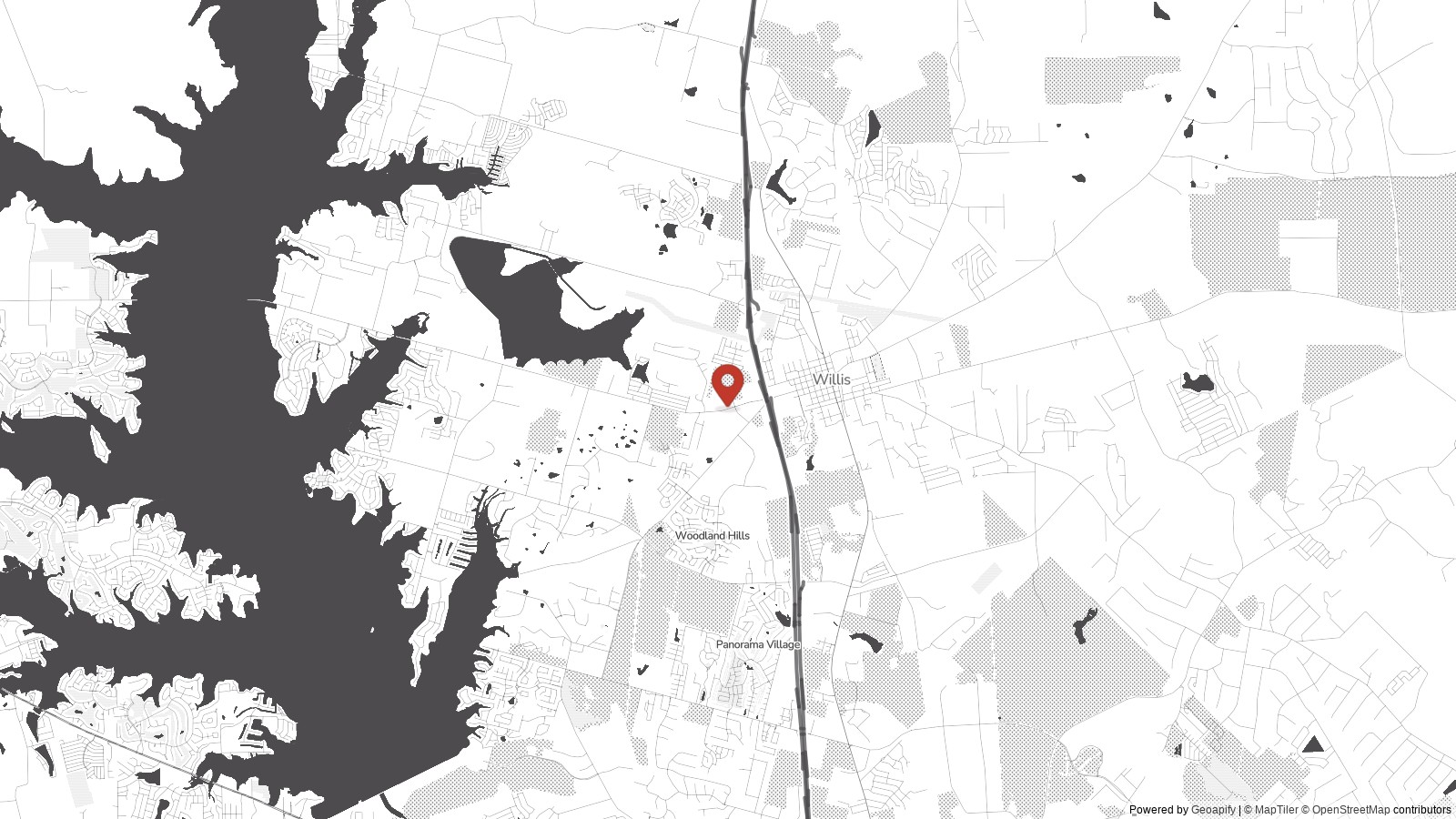
Communities along the Lake Conroe shoreline and in flood-prone pockets near Willis and Magnolia should closely monitor conditions as storms develop. The Sam Houston National Forest corridor, where runoff can quickly channel into roadways, also carries an elevated risk. Residents in New Caney, Porter, and Splendora, areas that have seen repeated drainage challenges recently, should monitor local alerts closely.
Montgomery County sits within the greater Houston metro's notoriously flood-vulnerable geography. The region's flat terrain and clay-heavy soils limit how quickly water absorbs after intense rainfall, meaning even a single strong storm cell can produce localized street flooding within minutes. The Woodlands and areas served by Conroe ISD and Magnolia ISD may see afternoon dismissal times affected if conditions deteriorate rapidly.
Residents should check the NWS Houston/Galveston radar and Montgomery County emergency alerts throughout Monday afternoon. If a flash flood watch or warning is issued, it will appear on the National Weather Service website and through Wireless Emergency Alerts on mobile devices.
.png)