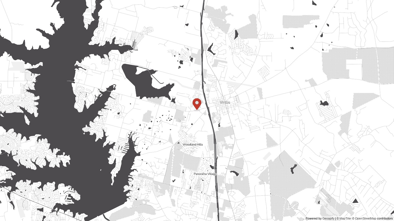
A strong thunderstorm moved across portions of Montgomery and Walker counties Friday afternoon, bringing the threat of gusty winds, frequent lightning, and heavy rainfall as forecasters urged residents to remain weather aware.
.png)
Residents in parts of Southeast Texas were urged to remain alert Friday afternoon as a strong thunderstorm moved through northwest Montgomery County and central Walker County.
The storm was expected to impact the area through approximately 2:30 p.m., bringing the potential for wind gusts reaching up to 40 mph, frequent lightning strikes, and periods of heavy rainfall.
Forecasters warned that the storm could create rapidly changing conditions, particularly for drivers traveling through affected areas.
Heavy downpours may lead to reduced visibility on roadways, while strong wind gusts could blow around unsecured outdoor objects and make travel difficult for high-profile vehicles.
Lightning remained one of the primary hazards associated with the storm. Weather officials advise residents to seek shelter indoors immediately if thunder is heard, as lightning can strike several miles away from the center of a storm.
Local emergency officials also encouraged residents to monitor changing weather conditions and have multiple ways to receive warnings should the storm intensify or additional thunderstorms develop later in the day.
"Stay weather aware," forecasters advised as the storm continued moving through the region.
Summer thunderstorms are common across Southeast Texas, where warm temperatures and abundant moisture can fuel strong storms capable of producing damaging winds, torrential rainfall and dangerous lightning.
Motorists are encouraged to slow down during heavy rain and avoid driving through water-covered roadways, where the depth and condition of the pavement underneath may be difficult to determine.
Forecasters will continue monitoring the storm as it moves eastward across the region, with additional updates expected if conditions worsen or new warnings are issued.