A Stage 1 flood alert runs through Tuesday night for the Conroe area, with heavy rain expected Monday and Tuesday before drier weather returns.

Conroe and the broader Montgomery County area are under a Stage 1 flood alert through Tuesday night, as forecasters warn of heavy rainfall Monday and Tuesday, according to Montgomery County Police Reporter. The National Weather Service issued the alert in response to elevated atmospheric moisture expected to fuel widespread storm activity across the region over the next two days.
For Conroe residents, the alert means low-lying roads and drainage channels could overflow during Monday and Tuesday's heaviest downpours. Flood alerts at Stage 1 — the first of three escalating levels used by Harris and Montgomery County emergency managers, signal that flooding is possible but not yet imminent; residents should still avoid crossing water-covered roads and move vehicles away from flood-prone areas before storms arrive.
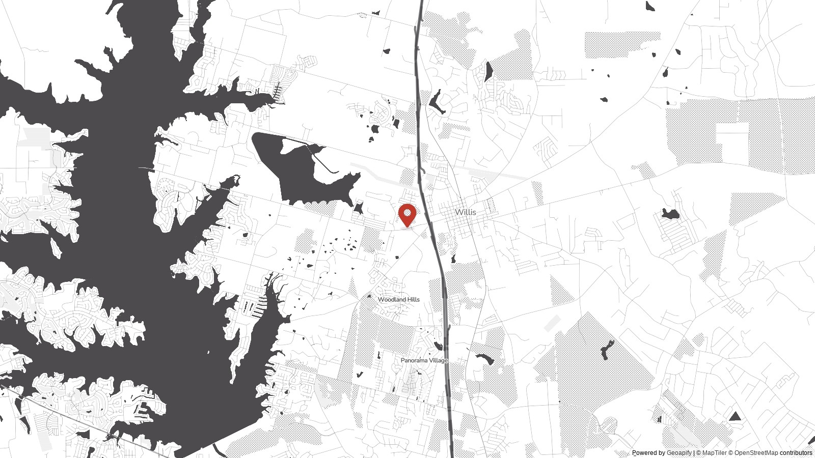
Areas near Lake Conroe and along creek corridors feeding into it carry heightened risk when soils are already saturated, as do lower-elevation neighborhoods in Willis and Splendora to the north and Porter and New Caney to the southeast. Drivers on FM 1097 near the lake and on State Highway 105 through Conroe should watch for standing water during peak storm hours Monday afternoon through Tuesday evening.
Montgomery County has seen repeated flooding events in recent summers, partly because rapid suburban development in communities like Magnolia and The Woodlands has increased impervious surface cover, leaving less ground to absorb heavy rain. Sam Houston National Forest to the north provides some natural buffering, but runoff from developed areas still strains county drainage infrastructure during multi-inch rain events.
The alert is expected to lift by Wednesday as drier air moves in. By the weekend, forecasters project a return to hot, sunny conditions that could persist into next week, a sharp contrast to the storm threat that closes out this week. Residents should monitor Montgomery County emergency alerts and the National Weather Service Houston-Galveston office for any upgrade to Stage 2 if rainfall totals exceed current projections.
.png)